The Different Types of Lightning: Cloud-to-Ground, Cloud-to-Cloud, and More
When considering the various kinds of lightning, you might initially think of the dramatic cloud-to-ground strikes that dominate our perception of thunderstorms. These powerful bolts, which can be either negative or positive, play a crucial role in the dynamics of a storm.
However, lightning encompasses more than just these ground-hitting flashes. Cloud-to-cloud and intra-cloud lightning create stunning visual effects, illuminating the sky with intricate patterns. Understanding these phenomena is essential for safety during storms. What measures should you take to stay safe? Let's delve further.
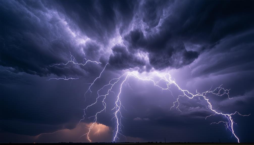
Cloud-to-Ground Lightning
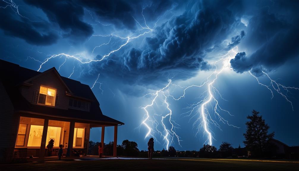
Cloud-to-Ground lightning is the most well-known type of lightning, striking from the sky to the Earth with immense power. Each flash can carry between 100 million to 1 billion volts of electricity. There are two main types of cloud-to-ground lightning: negative CG and positive CG. Negative CG flashes are more common and are characterized by their distinctive downward branching. Positive CG flashes, although less frequent, often occur during supercell thunderstorms and are known for their bright flashes and very loud thunder.
The process begins with a stepped leader, a channel of ionized air that moves downward from the cloud. As it approaches the ground, it meets an upward-moving streamer from the Earth. When these two connect, a powerful electrical discharge called a return stroke occurs, creating the visible lightning strike. According to the NSSL (National Severe Storms Laboratory) of NOAA, lightning strikes can happen even before rain starts to fall.
Cloud-to-ground lightning can be naturally downward or artificially triggered upward, sometimes by aircraft flying through electric fields. This type of lightning is fascinating and complex, playing an important role in understanding the different types of lightning and their impacts on our environment.
Charge Distribution in Lightning
Understanding the charge distribution in lightning is crucial for explaining the intensity and behavior of thunderstorms. In negative cloud-to-ground (CG) lightning, which is more common, a stepped leader descends from the cloud to create a path for the return stroke. This return stroke transfers a negative charge from the cloud to the ground, contributing to the overall charge balance in the atmosphere.
Positive CG lightning, although less frequent, involves a downward positive leader that initiates the strike, followed by an upward return stroke. This type of lightning tends to be more intense and transfers a positive charge to the ground, altering the local charge distribution differently compared to negative CG lightning. Storms with predominantly negative CG lightning strikes generally produce more total lightning than those with mostly positive CG flashes.
The distribution of charge in lightning significantly influences thunderstorm dynamics and associated weather phenomena. By understanding how different types of lightning, like cloud-to-ground flashes, alter atmospheric charges, we can better appreciate the complexities and power of thunderstorms.
Bolt From the Blue
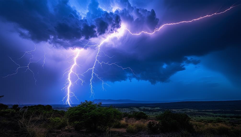
A bolt from the blue is an unexpected and hazardous form of lightning that strikes far from its originating thunderstorm. Unlike typical lightning, it begins within a cloud and travels horizontally for considerable distances, sometimes over 6 miles, before reaching the ground. This makes it particularly deceptive, as it can strike under a seemingly clear blue sky.
Imagine enjoying a sunny day when, out of nowhere, lightning strikes from a distant thunderstorm. This scenario highlights the significant threat that a bolt from the blue poses. The distance between you and the storm might create a false sense of security, but this type of lightning demonstrates that danger can persist even when the sky above appears clear. Understanding the risks associated with a bolt from the blue is crucial. Even if the main thunderstorm seems far away, the potential for unpredictable lightning strikes remains.
Always be vigilant and seek shelter immediately if you hear thunder, no matter how distant the storm seems. Your safety is paramount, and recognizing the deceptive nature of this lightning can help you avoid unnecessary danger.
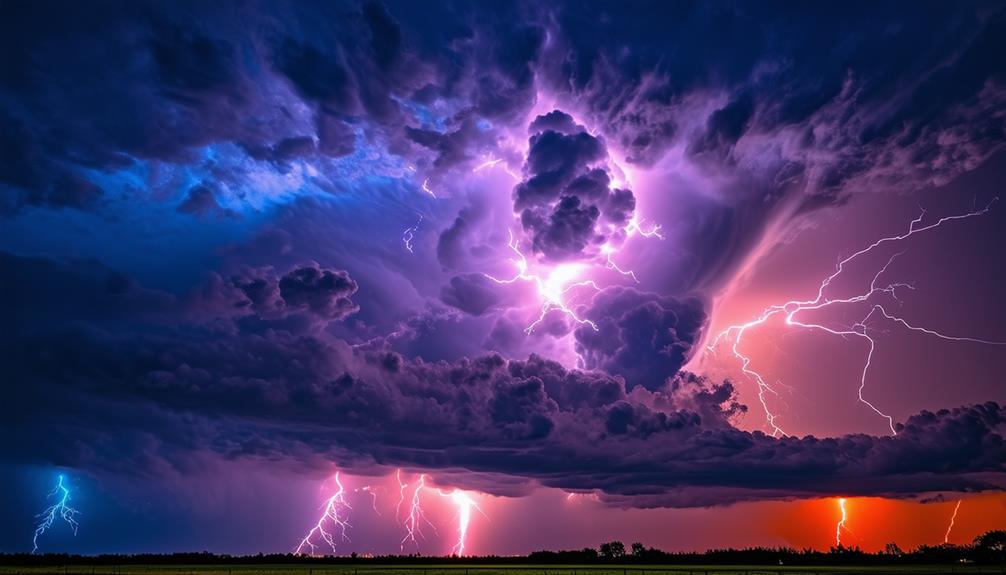
Cloud Flashes
While bolts from the blue can be startling, cloud flashes offer a different but equally captivating aspect of lightning. Cloud flashes include intra-cloud lightning, cloud-to-air lightning, and cloud-to-cloud lightning, each creating a mesmerizing display within or around the clouds without ever reaching the ground.
Intra-cloud lightning, the most common type, occurs when an electrostatic discharge takes place within a single cloud. This type of lightning-induced illumination lights up the entire cloud, creating what's known as sheet lightning. During a thunderstorm, you might see the whole sky light up without a visible bolt, especially when dense clouds fill the sky. Cloud-to-air lightning extends into the air but doesn't strike the ground. This phenomenon can be observed as bright streaks shooting out from the cloud into the surrounding sky or air. Cloud-to-cloud lightning, though less common, involves a discharge between two separate clouds, showcasing nature's electrifying artistry.
Lastly, heat lightning is actually distant intra-cloud lightning. You see the lightning but don't hear the thunder because the storm is too far away. Often mistaken for a different kind of phenomenon, it's simply lightning from a distant thunderstorm.
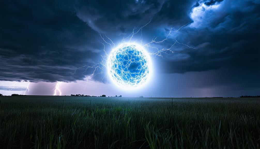
Transient Luminous Events
Transient Luminous Events (TLEs), including red sprites, blue jets, and elves, are fascinating lightning discharges with distinct characteristics. These phenomena, often associated with large thunderstorms and severe weather, are mesmerizing subjects for scientific study.
Types of Transient Events
Large thunderstorms produce fascinating transient luminous events (TLEs) such as red sprites, blue jets, and elves, which offer valuable insights into the complex processes above thunderclouds. These optical phenomena occur in the upper atmosphere and are triggered by active lightning within the thunderstorm. Sprites, for example, are weak electrical discharges that appear above thunderstorms, often following intense lightning strikes. They typically manifest as brief flashes of red light.
Blue jets and gigantic jets are other intriguing TLEs. Blue jets emerge from the top of thunderclouds and can reach altitudes of up to 50 kilometers. Gigantic jets are even more powerful and can extend directly from thunderclouds to the ionosphere, providing a direct electrical connection. Both types of jets help scientists understand the electrical activity within thunderstorms.
Elves, another type of TLE, are glowing disk-shaped regions that appear high above active lightning. They're associated with terrestrial gamma-ray flashes (TGFs) and can rapidly spread out over a large area. These transient luminous events, from sprites to elves, reveal the incredible dynamics and complexities of thunderstorms, making them a captivating subject for atmospheric research.
Features and Characteristics
Characterized by their stunning visual displays, Transient Luminous Events (TLEs) such as red sprites, blue jets, and elves offer a unique glimpse into atmospheric phenomena above thunderstorms. Sprites, often appearing as faint electrical discharges, manifest above thunderclouds due to complex interactions within the storm. These vibrant red flashes occur when positive charges from cloud-to-ground lightning excite the upper atmosphere's molecules.
Blue jets, in contrast, shoot upward from the tops of thunderclouds, creating a dazzling ascent into the stratosphere. These jets result from electrical discharges in the storm, showcasing intricate atmospheric processes. Gigantic jets are similar but extend even higher, bridging the cloud and the ionosphere.
Elves, glowing disk-shaped regions, form due to intense lightning and Terrestrial Gamma-ray Flashes (TGFs). These luminous rings provide a snapshot of electrical turbulence within thunderstorms.
Weather Phenomenon Associations
As you venture into the world of Transient Luminous Events (TLEs), you'll discover their close association with powerful thunderstorms. TLEs such as red sprites, blue jets, and elves highlight the dynamic nature of atmospheric electricity. These events manifest above thunderstorms, showcasing the intricate relationship between lightning activity and the upper atmosphere.
Red sprites are weak electrical discharges that appear above thunderclouds, often resembling clusters of red tendrils. They're usually triggered by cloud-to-ground lightning strikes. Blue jets, on the other hand, emerge from the tops of thunderclouds and shoot upwards, sometimes reaching altitudes of up to 30 miles. These jets are strikingly blue and less common than sprites.
Elves are glowing, disk-shaped regions that occur high above thunderstorms. These luminous phenomena are typically linked to intense lightning strikes, forming expansive, fleeting halos of light. Elves demonstrate the immense energy and complexity involved in lightning activity.
Together, these transient luminous events reveal the extraordinary interplay between thunderclouds and atmospheric electricity, offering a vivid glimpse into the unseen forces at work during thunderstorms.
Ground-to-Cloud Lightning
Ground-to-Cloud lightning is a rare and hazardous phenomenon where lightning originates from the ground and travels upward. This type of lightning can interact with structures, posing significant safety risks. Installing specialized protection systems is crucial, particularly in high-risk areas such as Florida, Texas, and Oklahoma.
Upward-Moving Lightning Leader
Ground-to-Cloud lightning, though less common, involves negatively charged electricity shooting upward from the ground to meet positive charges in the cloud. This phenomenon, known as an upward-moving lightning leader, poses significant risks to structures and objects on the ground.
When electrical storm activity is high, especially in states like Florida, Texas, and Oklahoma, the need for lightning protection measures becomes essential. These lightning strikes can cause severe damage to buildings, metal structures, and electrical systems. To mitigate these risks, professionals like Lightning Master Corporation provide specialized solutions designed to safeguard properties.
- Ground-to-cloud lightning risks: This type of lightning can lead to fires, structural damage, and power outages.
- Protection measures: Installing lightning rods and grounding systems can help divert lightning strikes safely into the ground.
- Damage to objects: Antennas, towers, and other tall structures are particularly vulnerable.
- Weather conditions: High electrical storm activity increases the likelihood of ground-to-cloud lightning.
- Specialized solutions: Companies like Lightning Master Corporation offer tailored services to protect against this specific threat.
Structure Interaction and Safety
Ground-to-cloud lightning, which occurs when a negative stepped leader from a cloud connects with a positive charge from objects on the ground, is a critical phenomenon to understand for ensuring safety and minimizing damage to structures. This type of lightning can pose significant hazards to buildings, ground wires, and metallic structures due to the intense energy discharge involved.
During a ground-to-cloud flash, the stepped leader travels upward to meet the descending negative stepped leader, resulting in a powerful discharge. This interaction can cause substantial damage to any structure in its path, emphasizing the need for effective lightning protection.
In high-risk states such as Florida, Texas, and Oklahoma, where electrical storm activity is prevalent, the necessity for robust lightning protection measures cannot be overstated. These regions experience frequent lightning strikes, making it imperative to consult lightning protection professionals. These experts specialize in mitigating the risks associated with ground-to-cloud lightning by installing protective systems designed to safeguard structures.
| High-Risk States | Major Cities |
|---|---|
| Florida | Tampa |
| Texas | Houston |
| Oklahoma | Oklahoma City |
Lightning Safety Measures
When thunderstorms approach, taking proper precautions can greatly reduce your risk of being struck by lightning. Adhering to lightning safety measures recommended by the National Weather Service is vital. For indoor safety, seek shelter in an enclosed building and avoid using wired electronics. For outdoor safety, find a secure place immediately when you hear thunder, even if it isn't raining yet.
To maximize risk reduction, follow these guidelines:
- Seek Shelter: Head indoors to a sturdy building or a hard-topped vehicle.
- Avoid Open Areas: Stay away from fields, hilltops, or open water.
- Avoid Tall Objects: Don't stand near trees, poles, or other towering structures.
- Pause Outdoor Activities: Wait at least 30 minutes after the last lightning flash before resuming activities.
- Avoid Conductors: Refrain from touching metal objects or using plumbing during thunderstorms.
These measures ensure your safety by minimizing exposure to lightning hazards.
Conclusion
Understanding the various types of lightning, such as cloud-to-ground and cloud-to-cloud, provides crucial insights into these natural phenomena. Recognizing these variations enables you to better assess safety risks and take appropriate protective measures during thunderstorms.
Always remember that lightning is incredibly powerful, so staying alert and prioritizing safety when storms are near is essential. With this knowledge, you're better equipped to navigate and respect the awe-inspiring force of nature that lightning represents.