The Northern Lights and Ancient Navigation: How They Guided Explorers
Imagine you're an ancient mariner navigating the Arctic's treacherous waters, relying not just on the stars but also on the mesmerizing Northern Lights. These celestial displays, far from being mere spectacles, served as subtle guides and omens for adventurers like you. While not as precise as a compass, the auroras filled the night sky with hints that could suggest proximity to land or even divine favor. How did these natural phenomena influence steering techniques and lore across different cultures? Let's explore how these lights shaped seafaring expeditions and the myths surrounding them.
Early Navigation Techniques
In the early days of exploration, navigators relied heavily on coastal navigation, using proximity to shorelines and prominent landmarks for guidance. Without modern tools, celestial navigation was essential, particularly the North Star, which remains relatively fixed in the sky and helps determine latitude.
During the day, natural clues such as animal behavior provided additional guidance. Birds flying inland or fish patterns could indicate nearby land or currents, offering critical information when the horizon seemed endless.
Timekeeping and speed estimation were rudimentary yet crucial. Navigators used hourglasses to measure time and simple methods like counting seaweed drifting past the boat to estimate speed. These techniques, while basic, were essential for approximating position and progress.
Despite these efforts, accuracy was often low, leading to miscalculations and unintentional detours. However, these early methods laid the groundwork for future advancements, showcasing human ingenuity in overcoming navigational challenges.
Medieval Advancements
Medieval advancements like the compass and portolan charts revolutionized navigation. Initially met with skepticism by European sailors, the compass eventually became a reliable tool for determining direction. Portolan charts, compiled from sailors' observations, provided detailed coastal maps, enhancing the safety and precision of maritime travel.
Compass Adoption in Europe
During the medieval period, the compass revolutionized European navigation, becoming an indispensable tool for sailors. Originating from China, this groundbreaking navigation device allowed mariners to determine direction with greater accuracy than relying solely on landmarks or celestial bodies. Initially met with skepticism by European mariners, the compass began to gain acceptance by the 12th century. Its use in navigation significantly enhanced maritime capabilities, enabling sailors to chart courses even when the skies were overcast or the coastline was out of sight.
The development of portolan charts around this time also played a crucial role in improving navigation. By the 14th century, the compass was widely adopted, facilitating longer sea voyages. This advancement in navigation was pivotal for explorers like Christopher Columbus and Vasco da Gama, who relied on the compass to traverse uncharted waters. The reliable directional guidance provided by the compass eliminated much of the fear of losing one's way, setting the stage for the Age of Exploration.
Thanks to the compass, European explorers could investigate new trade routes and territories, significantly expanding European influence across the globe.
Portolan Charts' Practical Use
With the advent of portolan charts in the 13th century, sailors gained an invaluable tool for charting the seas. These charts revolutionized navigation by offering detailed coastal information and precise harbor locations based on accumulated navigational data from experienced mariners. Rather than relying solely on celestial navigation, sailors could now use these charts to determine their ship's position relative to known landmarks and sea currents.
Portolan charts featured compass roses that indicated wind directions, which were crucial for understanding prevailing winds and effectively steering along coastlines. This was a significant improvement over earlier methods, allowing for more reliable sea travel. Although they lacked precise latitude and longitude markings, these charts provided essential insights that made voyages safer and more predictable.
Key improvements of portolan charts in medieval navigation include:
- Detailed Coastal Information: Accurate representations of coastlines, harbors, and potential hazards.
- Compass Roses: Indicators of wind directions to help plan routes more effectively.
- Sea Currents and Landmarks: Valuable data on sea currents and landmarks to assist in positional determination.
- Hand-Drawn Annotations: Reflecting the collective knowledge and experiences of diverse seafaring cultures.
These advancements marked a significant shift, making portolan charts indispensable tools for medieval mariners.
Age of Exploration
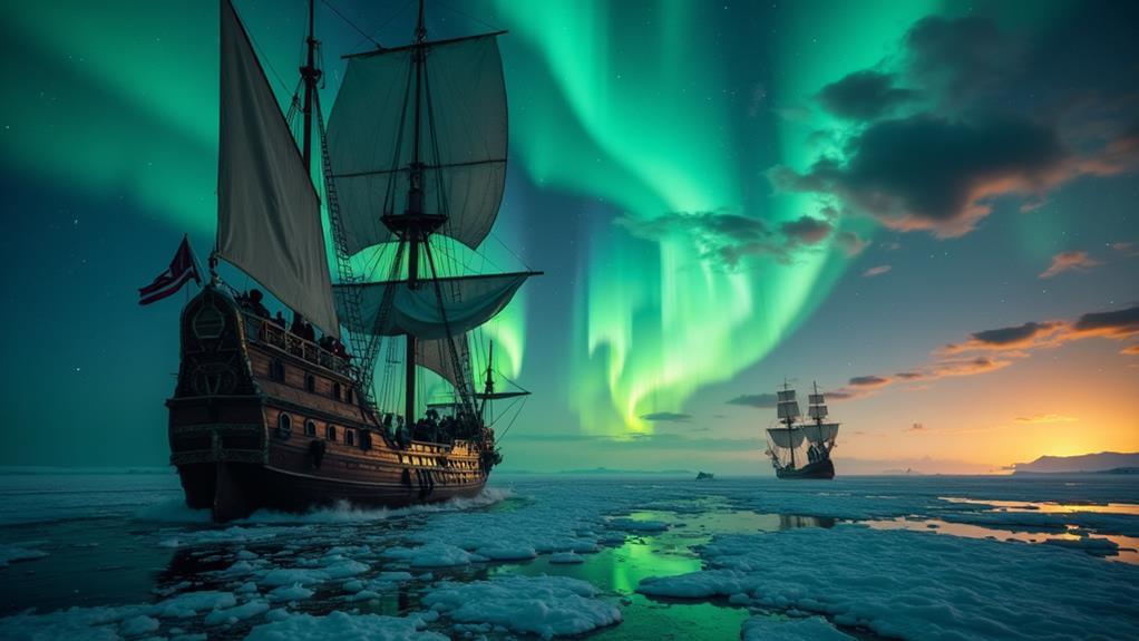
Initiating the Age of Exploration in the 15th century, European powers were driven by the quest for new trade routes, relying heavily on celestial navigation and natural phenomena. Navigators like Christopher Columbus used techniques such as dead reckoning and celestial navigation to guide their expeditions.
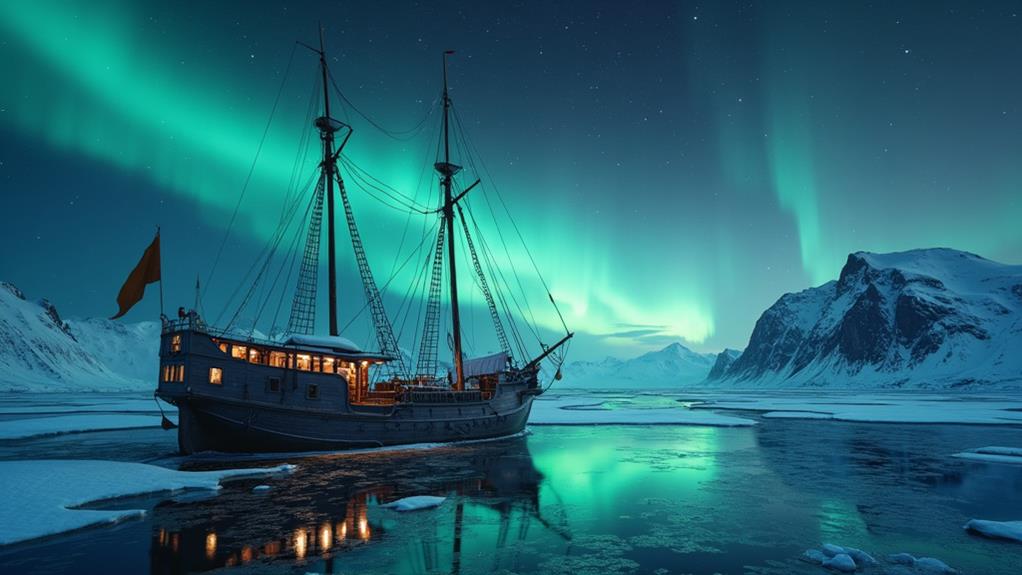
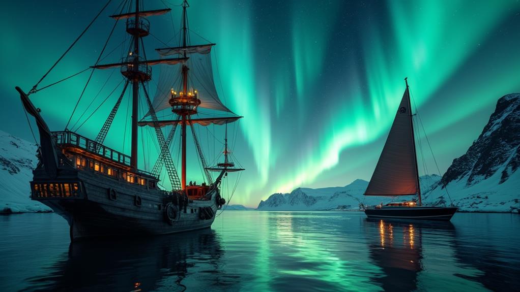
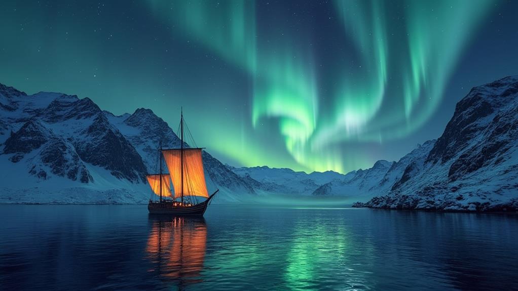
The magnetic compass became a pivotal tool during this period, enabling explorers to venture into uncharted regions, including the Arctic, where the Northern Lights often illuminated the sky. These shimmering displays mesmerized and sometimes served as navigational aids.
The pursuit of the elusive Northwest Passage highlighted the critical interplay between navigation techniques and natural phenomena. Navigators used both terrestrial and celestial cues, including the visibility of the Aurora Borealis, to determine their routes. In these endeavors, the Northern Lights were more than just a spectacle; they were a guiding light, shaping maritime explorations and influencing paths toward new territories and trade opportunities.
Tools and Instruments
The ancient art of navigation relied on essential instruments like the astrolabe and quadrant for measuring celestial angles and determining latitude. Techniques such as dead reckoning required accurate calculations of speed, direction, and time, while the magnetic compass offered a dependable sense of direction. Additional tools like leadlines, chip logs, and the chronometer further revolutionized navigation, enhancing the accuracy and safety of maritime travel.
Essential Navigational Devices
Even before modern technology, ancient mariners relied on an array of ingenious tools to navigate the open seas with remarkable accuracy. Unlike today's Global Positioning System (GPS), sailors of the past utilized a combination of devices and techniques to determine their position and chart their course effectively.
- Dead Reckoning: This method involved estimating the current position based on previously determined locations, speed, direction, and elapsed time. It required meticulous record-keeping but could yield surprisingly accurate results.
- Compass: Originating in China, the compass revolutionized navigation by providing a consistent directional reference. It allowed sailors to maintain a steady course even when landmarks or celestial bodies were not visible.
- Chronometer: Introduced in the mid-18th century, the chronometer enabled precise timekeeping, essential for calculating longitude. Accurate time measurement allowed mariners to determine their east-west position, marking a significant advancement in maritime navigation.
- Astrolabe and Quadrant: These instruments facilitated the measurement of the angle of celestial bodies above the horizon, aiding in the determination of latitude. Knowing one's position relative to the stars enabled navigation across vast distances with greater confidence.
Using these tools, ancient mariners navigated incredibly challenging environments, relying on their skills and the precision of their instruments.
Celestial Measurement Tools
How did ancient mariners navigate the vast and treacherous oceans without modern technology? They relied on celestial measurement tools to find their way, especially near the Arctic Circle where landmarks were sparse. Instruments like the astrolabe and the quadrant were used to measure the angles between celestial bodies and the horizon, helping them determine their latitude.
The sea astrolabe, specifically designed for maritime use, was vital. By measuring the sun or stars' angles above the horizon, sailors could track their position at sea with remarkable accuracy. The back-staff, an improved tool over the astrolabe, allowed mariners to measure the sun's altitude without staring directly into the sunlight, greatly enhancing their navigational capabilities.
During daylight, gnomons were used. These vertical devices cast shadows indicating the sun's position, aiding sailors in determining direction. However, the invention of the chronometer in the mid-18th century was a game-changer. It enabled sailors to calculate their longitude accurately, transforming navigation and ensuring they stayed on course. These tools and instruments were indispensable during the Age of Exploration, guiding explorers through the vast, open waters.
Dead Reckoning Technique
Despite the reliability of celestial navigation tools, mariners couldn't always depend on clear skies. When weather conditions obscured the stars, sailors turned to dead reckoning. This technique estimates a vessel's current position based on a known location, speed, and direction over time. Accurate dead reckoning required meticulous record-keeping.
Essential components for dead reckoning included:
- Hourglasses: Used to measure time intervals, crucial for calculating speed and distance.
- Sea logs: Instruments that tracked the vessel's speed over time to determine distance covered.
- Compasses: Vital for maintaining a consistent direction, especially in poor visibility.
- Charts and maps: Necessary for plotting courses and making adjustments as needed.
While practical, dead reckoning was not foolproof. Estimation errors could lead to significant deviations from the intended path. This method was particularly important during cloudy or stormy weather when celestial bodies were obscured. To enhance accuracy, especially on long voyages, sailors often combined dead reckoning with celestial navigation. By using both techniques, mariners could navigate the seas more reliably, even when stars and the Northern Lights were hidden.
Modern Navigation Developments
Since the post-World War II era, the maritime industry has experienced groundbreaking advancements in electronic navigation aids, revolutionizing how vessels navigate the seas. These modern navigation developments have significantly enhanced safety and efficiency at sea.
One of the most transformative innovations is the introduction of satellite navigation systems (GPS). GPS provides real-time positioning data, drastically reducing the likelihood of vessels becoming lost. Mariners can now pinpoint their exact location on the globe, ensuring accurate and reliable routing.
Modern navigation tools, such as gyroscopic compasses, radar, and radio navigation systems, have become indispensable, especially in low visibility conditions. Gyroscopic compasses offer stable directional guidance, while radar systems detect obstacles and other vessels, even in fog or heavy rain.
With the advent of electronic calculators and computers, navigational calculations have become more precise and less time-consuming. This technological advancement allows for meticulous route planning and improved safety.
In recreational boating, high-performance vessels are now equipped with state-of-the-art navigation features, including advanced GPS, depth sounders, and color radar displays. These innovations ensure that even on leisure trips, mariners can navigate with confidence and precision, marking a new chapter in maritime travel.
Norse Mythology
In Norse mythology, the Northern Lights hold profound significance, believed to be the reflections from the shields and armor of Valkyries—the warrior maidens who guided fallen soldiers to Valhalla. These celestial displays were more than just natural phenomena; they were deeply intertwined with the Norse understanding of the afterlife and the cosmos.
The Aurora borealis was also associated with Bifröst, the mythical rainbow bridge linking the earthly domain to Asgard, the home of the gods. This connection underscores the importance of the Northern Lights in guiding souls and symbolizing cosmic voyages. During the Middle Ages, particularly in northern Norway, these beliefs were widespread, influencing how people perceived the night sky.
Incorporating these lights into their mythology, the Norse people created a rich tapestry of stories:
- Valkyries and Valhalla: The lights were seen as the Valkyries' path, guiding warriors to their final resting place.
- Bifröst Bridge: The lights were thought to be part of the bridge to Asgard.
- Battle Omens: The Aurora was considered an omen of upcoming battles.
- Folklore Roots: Varied local legends before Christianization emphasized the lights' mystical qualities.
Today, there's a resurgence of interest in these ancient beliefs, especially in Iceland, reflecting the enduring cultural significance of the Northern Lights.
Scandinavian Myths
Scandinavian myths offer captivating interpretations of the Northern Lights, each reflecting a deep cultural connection to this natural phenomenon. In Finnish mythology, the stunning display is attributed to the swift movement of a firefox across the sky, symbolizing a cherished part of their folklore.
In Sami traditions, the Northern Lights are seen as whale spume ejected into the sky. This interpretation highlights the Sami's profound bond with nature and wildlife, reflecting their symbiotic relationship with the environment. Viewing the Northern Lights through their perspective transforms it into a magical extension of the natural world.
Icelandic traditions link the Aurora Borealis to childbirth and pain relief. Locals believe these lights offer blessings during significant life events, turning the sky into a harbinger of comfort and hope.
In Sweden, the lights are seen as an omen of good news and a prosperous harvest. For agricultural societies, this belief integrated the awe-inspiring natural display into their daily lives, providing a sense of reassurance and optimism.
These varied Scandinavian interpretations weave a rich tapestry, intertwining mythology with the natural world, and highlighting the cultural significance of the Northern Lights.
North American Interpretations
Reverence for the Northern Lights pulses through the diverse beliefs of Native American cultures, each offering a unique spiritual perspective on this celestial occurrence. These dazzling displays are more than just a natural wonder; they're deeply ingrained in meaning and tradition.
Among the Inuit tribes in Greenland, the Aurora Borealis is perceived as spirits playing a ball game, reflecting their profound connection to the natural world. For many Indigenous cultures, the lights are considered omens or significant events, often seen as messages from departed relatives and ancestors. This spiritual significance is woven into their storytelling and daily lives.
Key Beliefs:
- Spiritual Signs: The lights are seen as indicators of the presence of ancestors' spirits.
- Guidance for Lost Souls: They are believed to guide lost souls to the afterlife, linking the lights to concepts of life and death.
- Cultural Significance: Viewed as omens or markers of notable events.
- Daily Life Influence: They encourage communities to stay connected to their spiritual roots and traditions.
These interpretations highlight the rich tapestry of beliefs that shape Native American understanding of the Northern Lights. Each tribe's unique perspective underscores the significance of the Aurora Borealis in their cultural and spiritual practices.
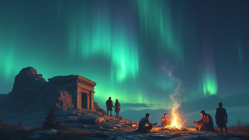
Ancient Mediterranean Views
How did ancient Mediterranean civilizations perceive the Northern Lights? Surprisingly, the Greeks and Romans, despite being far from the polar regions, documented sightings of these rare celestial events. The Greeks linked the auroras to Eos, the goddess of the dawn, interpreting them as symbols of renewal and illumination. Similarly, the Romans saw the lights as manifestations of their goddess Aurora, enriching their cultural narratives.
Imagine ancient mariners out at sea; the unexpected glow of the Northern Lights could signal the sight of land or perhaps a divine message. These rare sightings, while not directly influencing Mediterranean navigation, deeply impacted their mythological and cultural frameworks. The auroras were seen as mystical phenomena, reinforcing awe and respect for the natural world. Thus, even in the Mediterranean, the Northern Lights left a lasting impression on the human imagination.
Related posts