What Color Does the Sky Turn When There's a Tornado?
When you see the sky turning an eerie shade of green, you might wonder if a tornado is imminent. This greenish tint, often observed during powerful thunderstorms, can be quite unsettling. However, does it necessarily indicate a tornado is forming? Understanding this phenomenon requires an investigation into the atmospheric conditions responsible for such color changes. What specifically causes the sky to take on this unusual hue, and how should it be interpreted concerning tornadoes?
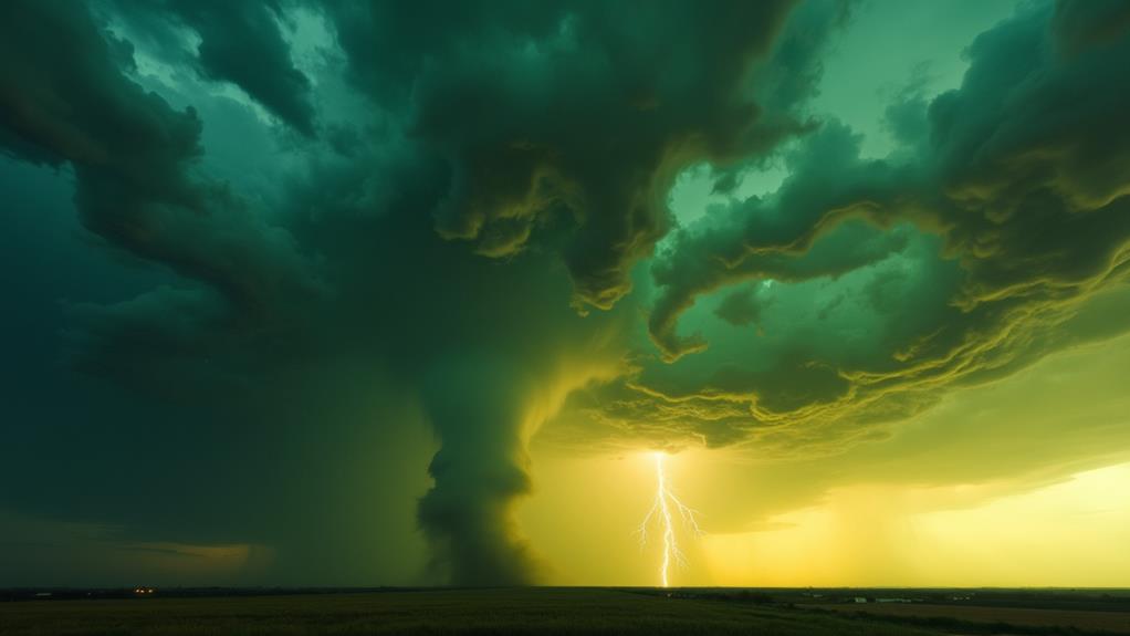
Sky Color During Tornado
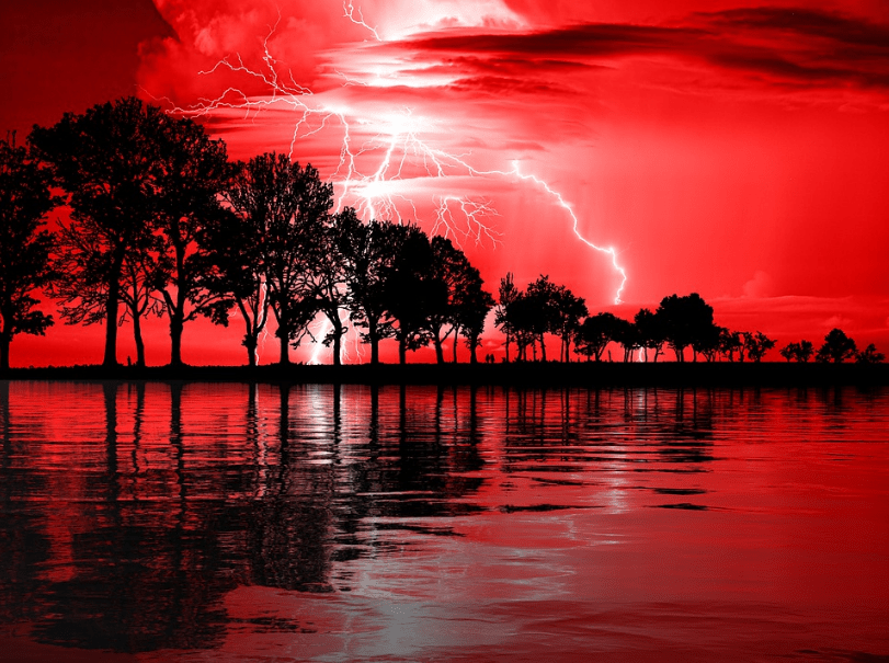
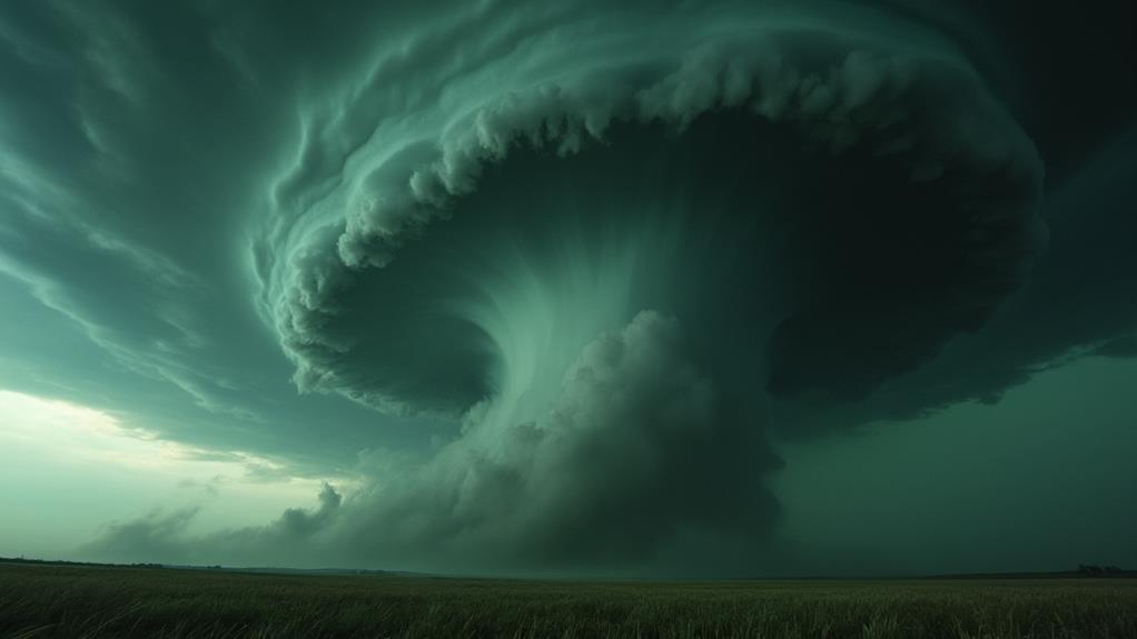
When a tornado is brewing, the sky often turns a dark gray, signaling severe weather conditions. This ominous color shift is an initial visual cue that something dangerous is approaching. As the storm intensifies, you might also notice a greenish tint in the clouds. This green sky phenomenon results from extreme atmospheric conditions commonly present in tornado-producing storms.
The dark gray sky serves as a clear warning sign and should be taken seriously, especially when accompanied by other indicators like heavy winds and sudden temperature drops. While the greenish sky is often associated with tornadoes, it is not a definitive indicator. Tornadoes can form without this specific coloration, so it is essential to remain alert to other signs as well.
In essence, the darker the sky, the more severe the weather is likely to be. Pay attention to these color changes, as they act as nature's signal for impending danger. By recognizing these signs, you can better prepare and protect yourself from the potentially devastating effects of tornadoes. Stay vigilant and heed these warnings to stay safe.
Green Sky Phenomenon
A green sky often appears before severe thunderstorms due to the interaction between deep thunderstorm clouds and moisture particles with light. This phenomenon typically occurs in the late afternoon or at sunset, serving as a striking visual warning. However, a green sky does not guarantee a tornado, so other atmospheric conditions should also be monitored.
Atmospheric Conditions Explained
During severe thunderstorms, the sky often takes on a dark gray hue with a greenish tint, especially noticeable in the late afternoon or at sunset. This green color results from specific atmospheric conditions where large water droplets within storm clouds scatter light. The depth of these thunderstorm clouds also enhances the greenish appearance.
The green sky phenomenon is most prominent when the sun is low on the horizon, such as in the late afternoon or at sunset, which amplifies the visual effects of the green clouds. While a green sky is often associated with severe weather and the potential for tornadoes, it is not a definitive indicator that one will occur. However, it serves as a significant visual cue to stay alert.
Here's a quick breakdown of the atmospheric conditions:
| Condition | Cause | Effect |
|---|---|---|
| Dark gray hue | Thick storm clouds | Ominous sky appearance |
| Greenish tint | Light scattering by large water droplets | Enhanced by sun's angle |
| Late afternoon/ sunset | Sun's low angle | Amplified visual effects |
Visual Warning Signs
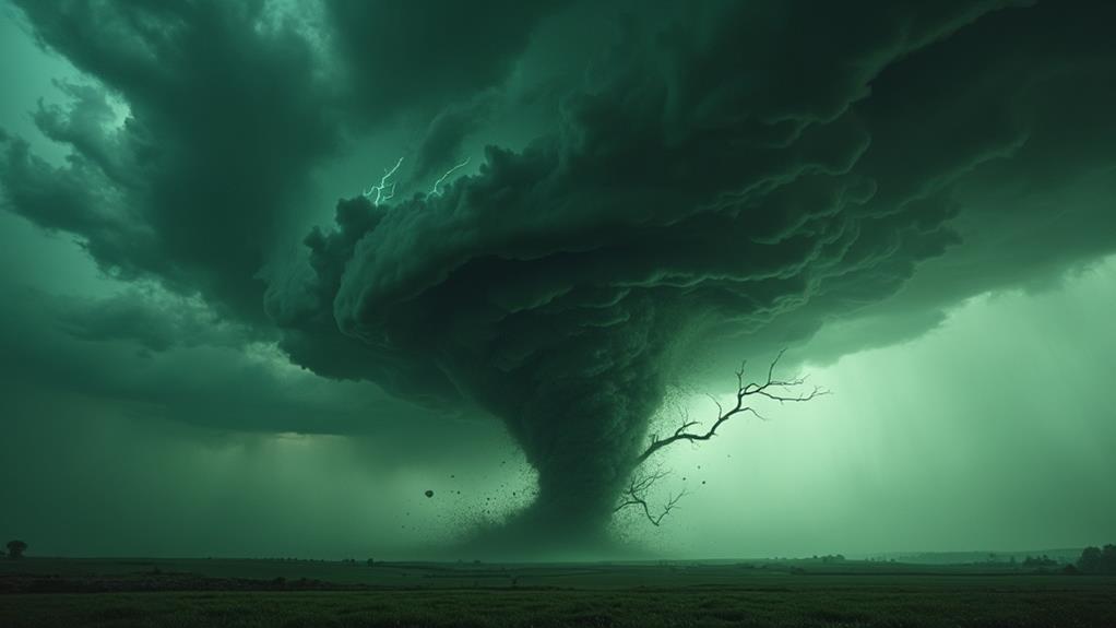
When severe weather approaches, one of the most striking visual warning signs is the green sky phenomenon. The sky often takes on a dark gray or greenish hue during tornado conditions, signaling the potential severity of the weather ahead. This eerie coloration is most commonly observed before severe thunderstorms, especially those capable of producing tornadoes.
Green skies typically occur in the late afternoon or at sunset. Deep thunderstorm clouds present at these times reflect blue and green light, creating that ominous green tint. When you see this, it's a sign that atmospheric conditions are ripe for severe weather, even though it doesn't guarantee a tornado will form.
Paying attention to this phenomenon can improve your safety, prompting you to monitor weather conditions closely and seek shelter if necessary.
- Sense of dread as the sky darkens
- Rush of adrenaline knowing severe weather may be imminent
- Urgency to protect loved ones and property
- Heightened awareness and readiness to take action
Recognizing green skies as a visual warning sign can significantly impact your preparedness for severe weather, helping you stay alert and safe.
Misconceptions Clarified
Misconceptions about the green sky phenomenon often lead people to believe it's a surefire sign of an impending tornado. However, this belief is not entirely accurate. The green sky typically occurs before severe thunderstorms and is associated with tall thunderstorm clouds that can produce hail and tornadoes. The green hue results from moisture droplets scattering light, reflecting blue and green hues while absorbing red light.
Let's clarify these misconceptions. While a green sky can indeed serve as a warning for potential severe weather, it doesn't guarantee a tornado will form. Tornadoes can occur without any green skies at all. Instead, the green sky points more reliably to thunderstorms and large hail conditions. Fundamentally, green is a warning that you should monitor weather conditions closely, but it's not a definitive indicator of tornado activity.
Research supports this by showing a stronger correlation between green skies and the presence of thunderstorms and large hail rather than tornadoes. So, the next time you see a green sky, keep in mind that while it may signal severe weather, it doesn't necessarily mean a tornado is imminent.
Causes of Green Skies
Deep thunderstorm clouds often create the mesmerizing phenomenon of green skies, resulting from the scattering of light by moisture droplets in the atmosphere. This scattering reflects both blue and green light, leading to the distinctive green hue. The phenomenon is influenced by the thickness of the thunderstorm clouds and the size of the moisture droplets.
Green skies are most commonly observed in the late afternoon or at sunset, when the angle of the sun enhances the green hues produced by the storm clouds. This eerie green tint often signals the potential for severe weather, such as large hail or intense thunderstorms. However, it's crucial to understand that while green skies can indicate severe weather, they do not guarantee the presence of tornadoes or hail.
When observing green skies, individuals might experience:
- Awe at the natural beauty
- Anxiety about impending severe weather
- Curiosity regarding the scientific explanation
- Urgency to seek shelter or safety
Understanding green skies can help individuals better prepare for the severe weather conditions they often precede.
Tornado Formation and Behavior
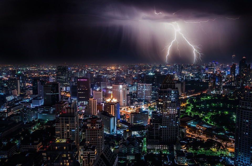
Tornadoes form from severe thunderstorms known as supercells, which feature a rotating updraft called a mesocyclone. These intense and complex storms can produce tornadoes, making them both fascinating and dangerous. When a mesocyclone strengthens, it may result in the formation of a funnel cloud that can eventually touch down as a tornado.
The Enhanced Fujita (EF) scale categorizes tornadoes based on their wind speed and the damage they cause, ranging from EF0, which is weak, to EF5, which is incredibly destructive. Tornadoes vary significantly in size, shape, and intensity. Some may be narrow and rope-like, while others can be wide and wedge-shaped. Their lifespans typically range from a few minutes to over an hour.
Tornadoes generally move from southwest to northeast, averaging speeds around 30 mph, but their speed can range from being stationary to moving as fast as 70 mph. It's essential to recognize that a single tornado can touch down multiple times, creating a discontinuous path of damage. Understanding tornado formation and behavior helps in better preparing for these powerful storms that can produce catastrophic effects.
Meteorological Conditions
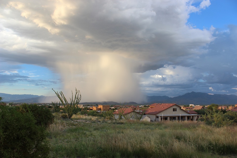
Understanding tornado formation and behavior is crucial for recognizing the meteorological conditions that precede these violent storms. Often, you'll notice unusually warm days paired with high humidity, creating an unstable atmosphere conducive to severe weather. This combination enhances convection, driving the thunderstorms that can lead to tornadoes. On such days, conditions can change rapidly—sometimes within just a few hours—making real-time monitoring essential.
Wind shear, changes in wind speed and direction at different altitudes, plays a significant role in tornado formation. It acts as the catalyst that initiates cloud rotation, setting the stage for a potential tornado. Supercells, a specific type of severe storm characterized by a rotating updraft, are typically necessary for tornado development.
Key conditions to monitor include:
- Sudden temperature spikes: Unexpected warmth in the air.
- Increased humidity: A noticeable stickiness on your skin.
- Rapid cloud movement: Swift changes in cloud patterns.
- Dark, ominous skies: A threatening hue in the sky.
Understanding these signs can help you stay prepared and safe during potential tornado events.
Safety Precautions
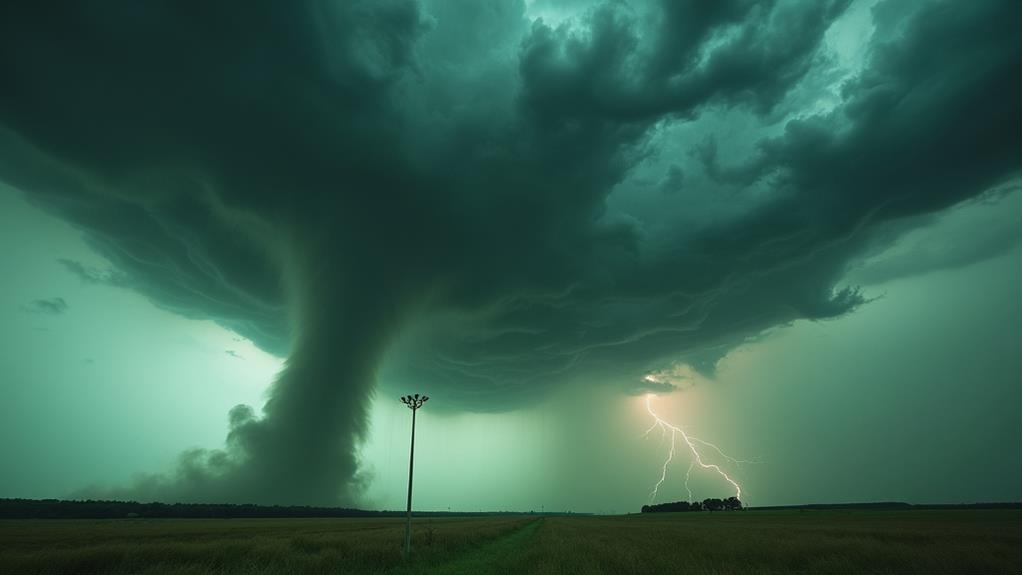
Preparedness can mean the difference between safety and disaster when severe weather strikes. If you observe a green sky, take immediate precautions as this can indicate severe storms capable of producing tornadoes or hail. Your first step should be to seek shelter in a sturdy building or a designated safe area, such as a basement or an interior room without windows. This minimizes the risk of injury from flying debris.
During a tornado warning, avoid windows and exterior walls, as these areas are most susceptible to breaking glass and structural damage. It's also essential to keep an emergency kit stocked with necessities like water, food, a flashlight, and a first aid kit. These supplies can be invaluable if you need to stay sheltered for an extended period.
Staying informed is crucial for your safety. Use reliable sources such as weather radios or mobile alerts to get timely updates. These can provide you with the information you need to make quick, informed decisions. By following these steps, you significantly enhance your safety and preparedness during severe weather events.
Historical Context
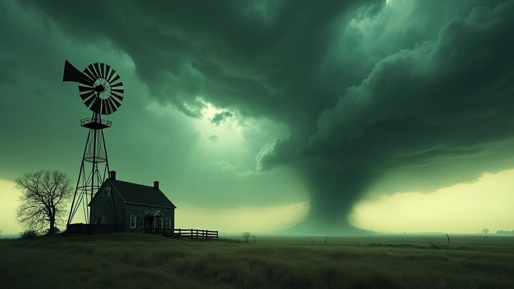
Observing the sky's color can be a critical component of your severe weather preparedness strategy. Historical accounts often describe skies turning dark gray or taking on an eerie greenish hue just before a tornado strikes. These changes in sky color have been consistent in many of the most powerful tornadoes recorded, especially those classified as EF5.
When a cloud is extremely tall and dense, it can scatter and filter sunlight, creating these distinctive colors. Research into tornado patterns has shown that these visual cues can be essential for early warning. Emergency response protocols developed from past tornado outbreaks emphasize the importance of monitoring sky color as a potential indicator of impending danger.
Survivors of significant tornado events frequently describe the unsettling sight of a green or dark sky right before the destruction begins. Their stories have contributed to our collective understanding and have reinforced the significance of vigilance.
- Seeing the sky turn green can trigger a deep sense of dread.
- Dark gray skies might make you feel an overwhelming sense of urgency.
- Noticing these colors can send chills down your spine.
- The eerie sky color can evoke memories of past tragedies.
Being aware of these historical patterns can help you stay safe.
Public Perception
Many people associate a green sky with the imminent formation of tornadoes, often leading to heightened anxiety during severe weather events. This public perception is deeply ingrained, even though a green sky actually signals severe thunderstorms rather than a definitive tornado. When you see that ominous hue, it's easy to feel a surge of panic, but it's vital to understand that green skies are not a foolproof indicator of tornado activity.
Misinterpretation of sky colors can cause confusion when tornado warnings are issued. You might think a green sky means a tornado is imminent, but that's not always the case. This misunderstanding underscores the importance of clear communication from meteorological services about the actual risks. Folk wisdom and cultural beliefs have long linked unusual sky colors, particularly green, to tornado activity. However, these notions lack scientific backing and can lead to unnecessary alarm.
Educating yourself and others about the real atmospheric conditions behind sky color changes can help mitigate panic. Knowing that a green sky doesn't automatically mean a tornado will form can improve how you respond to severe weather threats. Clear, accurate information is your best defense against the fear of the unknown.
Scientific Research Findings
Contrary to popular belief, a green sky does not necessarily indicate an impending tornado. Scientific research reveals that the greenish hue is largely due to moisture particles in deep thunderstorms, rather than serving as a direct tornado signal. Experts, such as Gallagher, have found that while green skies often accompany severe weather, they do not specifically predict tornadoes.
Correlation With Thunderstorms
The sight of a green sky often evokes both awe and apprehension, especially for those familiar with thunderstorms. When you observe green skies, it's a strong indication that thunderstorms are on the horizon. Scientific studies show that these green skies are commonly associated with severe weather conditions, though they don't specifically indicate tornado formation.
Thunderstorm clouds are deep and tall, scattering light in a unique way. This scattering enhances blue light visibility while absorbing red light, creating the eerie green hue you might see before a storm. Atmospheric conditions like moisture and instability also play significant roles in producing this green coloration, serving as an early warning sign for severe weather.
Here's what you might feel when you see green skies:
- Fear: The threat of severe weather can be frightening.
- Curiosity: The unusual color sparks interest in the science behind it.
- Alertness: You become more vigilant, knowing severe weather is likely.
- Awe: The power of nature leaves you amazed.
While the green sky phenomenon is a notable signal of severe thunderstorms, remember it's not a definitive indicator of tornadoes. Other factors contribute to their development.
Predictive Limitations
Despite the striking nature of green skies, researchers emphasize there's no direct link to tornado formation. Scientific studies show that green skies are often more correlated with severe thunderstorms than with tornadoes specifically. Thunderstorm clouds can create a greenish hue due to the scattering of light, but this phenomenon doesn't guarantee a tornado is imminent.
You might think green skies are a surefire sign of a tornado, but that's a common misconception. Gallagher's research indicates that green skies can serve as a warning for potential severe weather, including thunderstorms or hail, but they don't guarantee a tornado will form. Other atmospheric conditions, like wind shear and humidity levels, are crucial in tornado development.
There's limited research on the connection between sky color and severe weather, highlighting the need for further investigation. This gap in understanding underscores why it's important to consider a variety of weather indicators rather than relying solely on sky color. Educating yourself on accurate weather indicators can help you make better-informed decisions during severe weather events. Don't let green skies alone dictate your actions; always seek comprehensive weather reports.