The Invention and Impact of the Astrolabe in Navigational Astronomy
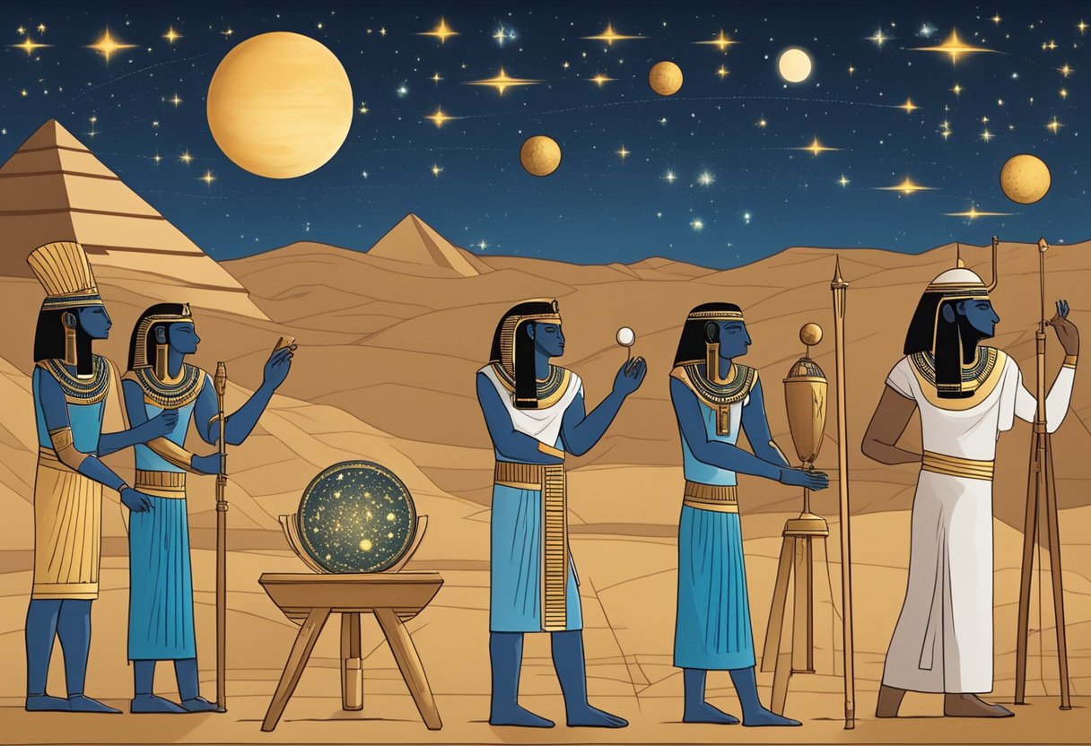
The invention of the astrolabe marks a pivotal moment in the history of navigational astronomy. Attributed to Hipparchus around 225 BCE, this ancient device provided a groundbreaking method for celestial calculations.
Islamic scholars during the Golden Era later refined it, enhancing its ability to measure celestial angles and determine latitude. This transformation revolutionized maritime exploration and trade.
Over centuries, the astrolabe evolved through innovation and adaptation, profoundly shaping the world. Understanding its development and eventual decline reveals the dynamic interplay between technology and human progress.
Definition and Purpose
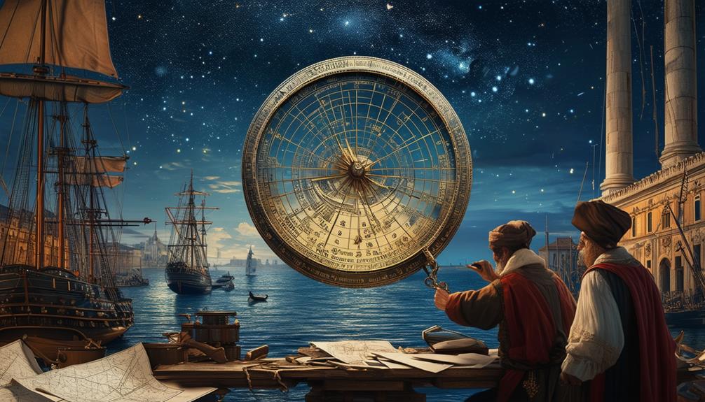
The astrolabe, an ancient instrument, served primarily for timekeeping, astronomy, and navigation. This fascinating tool was indispensable for astronomers and navigators who required precise celestial calculations. By providing a handheld model of the universe, the astrolabe enabled users to measure the altitude of stars and planets accurately, determining the time of day and the duration of a day with remarkable precision.
Imagine being a sailor during the Age of Exploration; with an astrolabe, you could ascertain your latitude and navigate across vast, uncharted oceans. The device's intricate design allowed for alignment with celestial bodies, ensuring you stayed on course. Its significance in navigation can't be overstated; it was essentially a roadmap to the stars.
Moreover, the astrolabe played a crucial role in early scientific progress. It wasn't merely a tool for travel but also a means of understanding the universe. Through celestial calculations, users could gain insights into the movements of heavenly bodies, laying the groundwork for future astronomical discoveries. The astrolabe's contributions to timekeeping, astronomy, and navigation underscore its pivotal role in history.
Historical Origins
Around 225 BCE, Hipparchus, an ancient Greek astronomer, devised the astrolabe, marking a groundbreaking advancement in celestial navigation. As an early scientific instrument, the astrolabe enabled astronomers and seafarers to measure the altitude of stars and planets, paving the way for a deeper understanding of celestial movements. This invention represented a significant milestone in the history of science, blending mathematical precision with practical application.
The astrolabe's journey didn't end with the Greeks. During the Islamic Golden Age, scholars and navigators refined the astrolabe, making notable improvements and expanding its use. Islamic astronomers like Al-Battani and Al-Zarqali contributed to the development of this early scientific instrument, enhancing its accuracy and versatility. The Islamic world became a center for astronomical knowledge, with the astrolabe playing a crucial role in this intellectual flourishing.
Mechanisms and Components
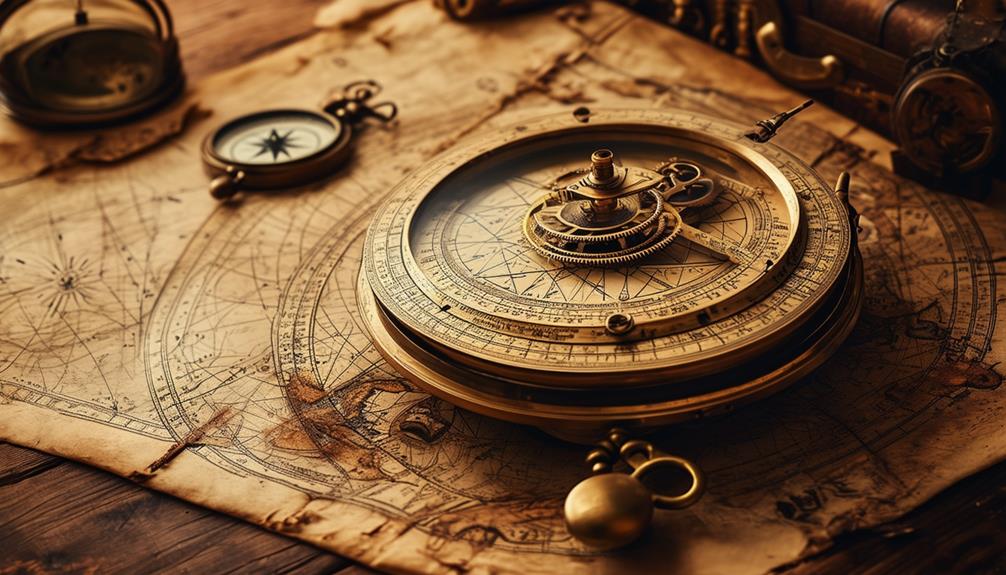
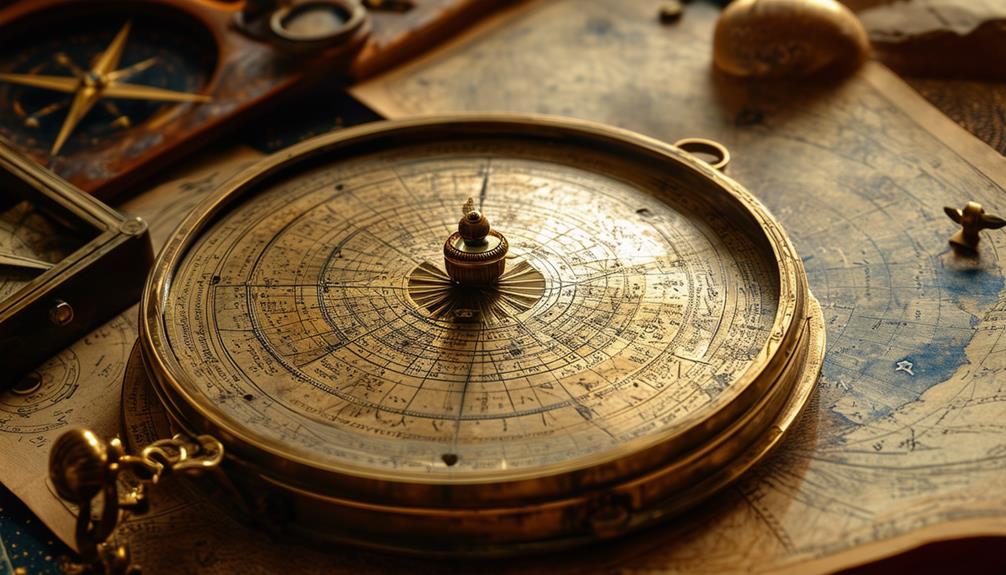
The astrolabe features two essential components: the celestial coordinate lines and the rotating star map. These elements function together to accurately measure the positions of celestial bodies.
Celestial Coordinate Lines
Engraved celestial coordinate lines on an astrolabe's base plate enable precise navigation and astronomical calculations. These lines, meticulously etched onto the base plate, act as a fundamental guide for interpreting the heavens.
The rete, an open-pattern disk rotating above the base plate, displays a star map, facilitating the identification of celestial positions. The alidade, a straight rule attached to the back of the astrolabe, is crucial for sighting celestial objects. By aligning the alidade with a star or planet, one can accurately determine its altitude.
This sighting process, combined with the celestial coordinate lines, ensures precise readings and calculations. Additionally, the astrolabe includes engraved plates known as climates, which are essential for adjusting the instrument to different latitudes.
Star Map Rotation
The astrolabe's star map rotation mechanism, featuring the intricately designed rete, allows precise alignment with the night sky for accurate celestial tracking. The rete, a movable star map, rotates on a fixed base plate, enabling the simulation of star and celestial body positions. This rotation is crucial for observing their movement over time, an essential task for any serious navigator.
By adjusting the rete on the base plate, you can accurately determine the time and the positions of stars in the celestial sphere. This interaction between the rete and the base plate allows the astrolabe to replicate the celestial sphere, making it an invaluable navigation tool. It can be used to calculate the altitude of stars, track their movements, and predict celestial events.
The star map rotation feature isn't just a simple mechanical function; it's the core of the astrolabe's capability to perform complex celestial calculations. Precise alignment ensures reliable readings, providing a trustworthy means to navigate across seas and lands. The astrolabe's accuracy in star map rotation has established it as a cornerstone in the history of astronomical navigation.
Timekeeping Applications
The astrolabe is a highly useful instrument for timekeeping. It measures daylight hours by tracking the sun's altitude. By aligning the device with celestial bodies, you can determine local time accurately.
This tool was essential for sailors and astronomers who depended on precise timekeeping for navigation and observation.
Measuring Daylight Hours
Using an astrolabe, you could accurately determine the length of a day by tracking the sun's position in the sky. This ancient instrument excelled at measuring daylight hours, providing a dependable method for timekeeping. By aligning the astrolabe with the sun's rays, you could observe its movement and calculate the length of a day with remarkable precision. This process was crucial not only for daily activities but also for planning agricultural work, religious observances, and navigation.
The astrolabe's ability to measure the position of the sun offered several advantages:
- Scheduling Activities: Knowing the exact length of the day helped in efficiently planning various tasks.
- Religious Observances: Precise timekeeping allowed for accurate timing of prayers and other religious ceremonies.
- Navigation: Mariners relied on the length of daylight to plan their voyages and ensure they stayed on course.
Astrolabes were indispensable tools in an era when mechanical clocks were either nonexistent or unreliable. Their precision in measuring daylight hours made them invaluable for anyone needing to keep accurate time. Essentially, the astrolabe bridged the gap between celestial phenomena and practical time management.
Determining Local Time
To determine local time with remarkable accuracy using an astrolabe, align the sighting arm with the Sun or a specific star. By measuring the altitude of these celestial bodies, the astrolabe facilitates precise time calculations. This process involves using the sighting arm to pinpoint the Sun's position in the sky or a known star, then adjusting the rotating parts of the astrolabe to match these celestial observations.
Timekeeping with an astrolabe goes beyond knowing the time of day; it encompasses understanding your position and adjusting for longitude. For sailors navigating the seas, determining local time was crucial for plotting their course and ensuring they stayed on track. The astrolabe served as an essential tool in this context, enabling accurate time tracking.
Ancient astronomers and sailors heavily relied on these instruments for their timekeeping needs. Mastering the use of an astrolabe allowed them to make precise time calculations, thereby enhancing their ability to travel and explore.
The astrolabe was a cornerstone in the advancement of navigational astronomy, underscoring its critical role in timekeeping.
Navigational Uses
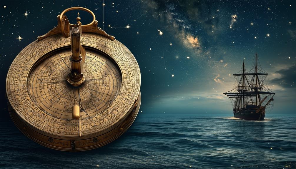
Mariners historically relied on the astrolabe to measure celestial angles and accurately determine their latitude at sea. This ancient instrument was essential for finding latitude by gauging the altitude of the sun or stars. Through its use, navigators could ascertain their ship's latitude, a critical factor in course decisions and safe navigation to their destinations.
The astrolabe's significance in navigation can't be overstated. It revolutionized maritime exploration, providing sailors with a dependable method to chart their position in the vast, uncharted oceans.
Key aspects of its impact include:
- Accurate Positioning: By measuring the angles between the horizon and celestial bodies, the astrolabe supplied sailors with precise latitude information.
- Enhanced Decision-Making: Knowing their exact latitude enabled navigators to make informed decisions about their routes, avoid hazards, and optimize their paths.
- Historic Voyages: Notable explorers such as Christopher Columbus and Vasco da Gama used the astrolabe to discover new trade routes and unexplored territories.
Islamic World Contributions
As the significance of the astrolabe in navigation grew, the Islamic world played a crucial role in enhancing its accuracy and functionality. Scholars such as Al-Biruni and Al-Sufi made major contributions to its design. They not only used these devices but also refined them, tailoring astrolabes to specific latitudes, which significantly improved their precision for celestial observations.
For example, Al-Sufi meticulously cataloged stars and their positions, aiding in the creation of more accurate star maps usable with astrolabes.
Al-Biruni focused on the mathematical aspects, ensuring the reliability of the astrolabe's calculations. These advancements were essential not only for navigation but also for determining prayer times and the direction of Mecca, vital aspects of daily life in the Islamic world.
Influence on European Exploration
The astrolabe revolutionized European exploration by equipping navigators with a reliable instrument to chart courses across vast, uncharted oceans. Introduced to Europe via Islamic Spain in the 12th century, this device fundamentally altered navigation practices. By measuring the altitude of celestial bodies such as the sun and stars, sailors could determine their latitude with unprecedented accuracy. This precision enabled explorers like Christopher Columbus and Vasco da Gama to venture into unknown waters and establish new trade routes.
The astrolabe's capabilities significantly impacted European voyages by providing navigators with crucial geographical knowledge:
- Latitude Determination: By measuring the altitude of celestial bodies, navigators could accurately determine their position relative to the equator.
- Route Mapping: The ability to chart courses across the oceans allowed explorers to discover new territories and establish consistent trade routes.
- Knowledge Expansion: The astrolabe facilitated the accumulation of geographical knowledge, aiding in world mapping and broadening Europe's understanding of global geography.
The astrolabe played a crucial role in advancing European exploration, marking a pivotal moment in the history of navigation.
Decline and Technological Evolution
With the advent of reliable mechanical clocks in the 17th and 18th centuries, navigators gradually shifted away from using astrolabes. These clocks offered precise timekeeping, which was essential for accurate navigation. Scientific advancements, particularly during the Age of Enlightenment, further accelerated this transition.
During this period, the sextant emerged as a superior navigational instrument. Unlike the astrolabe, the sextant could measure angles with greater accuracy and ease, making it indispensable for maritime navigation. This technological evolution marked a significant shift in navigational tools.
Throughout the Age of Enlightenment, reliance on astrological instruments like the astrolabe declined. The era's scientific progress favored empirical and precise methods, leading to the development of more advanced tools. By the time mechanical clocks and sextants became standard, the astrolabe had largely fallen into disuse.
Modern Revivals and Legacy

Though the astrolabe had largely fallen into disuse, modern technology has rekindled interest in its applications. Today, smartphone apps have revived the ancient concept, making it more accessible and versatile. These modern revivals cater to various needs, from navigation to religious practices. For instance, apps like Qibla help Muslims determine the direction of Mecca, showcasing the device's adaptability.
Technology has been pivotal in this resurgence. Your smartphone can now function as a digital astrolabe, offering unprecedented convenience. This fusion of ancient principles and modern devices brings the astrolabe's legacy into the 21st century, allowing you to harness its capabilities without specialized equipment.
Here are three ways smartphone apps have revitalized the astrolabe:
- Navigation: Apps use GPS to provide precise location data, enhancing traditional astrolabe functions.
- Religious Practices: Apps like Qibla offer easy access to religious orientation, fulfilling spiritual needs.
- Education: Educational apps teach users how astrolabes work, preserving historical knowledge while making it relevant today.
The renewed interest in astrolabes over the past 20 years underscores their enduring adaptability, proving that even ancient tools can find new life through technological advancements.
Conclusion
The astrolabe, initially conceived by Hipparchus and later refined by Islamic scholars, revolutionized navigational astronomy. This instrument was crucial not only for accurate timekeeping and celestial observations but also for enhancing maritime exploration and trade.
Although modern technology has outpaced the astrolabe, its legacy persists. Its innovations laid the foundation for future navigation advancements, illustrating how even the simplest tools can have a profound impact on the world.
Related posts