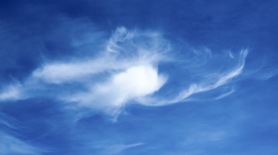
The Cirrus Clouds
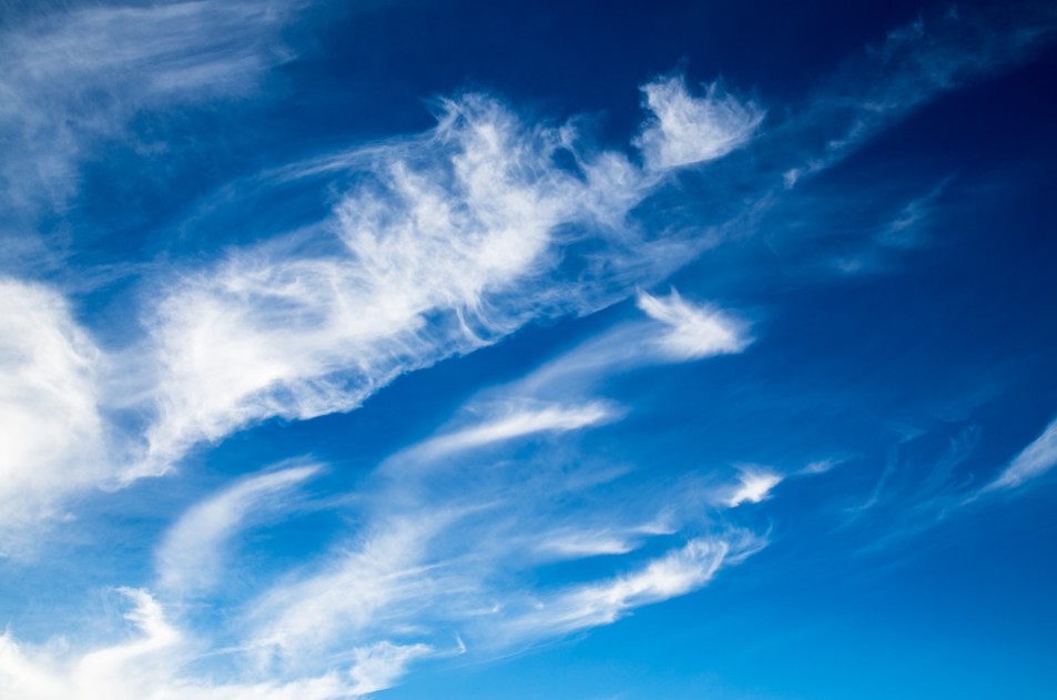
Cirrus (Ci) are distinguished as thin atmospheric clouds with wispy strands. The cloud got its name from the Latin word “cirrus”, which means a curling lock of hair or a ringlet. These clouds typically have a white or a light grey color and can form at altitudes between 5,000 m (16,500 ft) and 13,700 m (45,000 ft) above sea level.
Cirrus clouds form when water vapor goes through the process of deposition at altitudes higher than 5,500 m (18,000 ft) and 6,400 m (21,000 ft) in temperate and tropical regions, respectively. Cirrus cloud formation also happens in moments when there's a flood of tropical cyclones, and they also form from the anvil top of cumulonimbus clouds.
These clouds' thickness ranges from 100 m (330 ft) to 8,000 m (26,000 ft). It has an average thickness of 1,500 m (4,900 ft), and the cloud temperature varies from −20 °C or −4 °F to −30 °C or −22 °F. On average, there are 30 ice crystals per liter or 110 per gallon, and each of them is usually 0.25 mm long, although they can be as short as 0.01 mm or as long as several millimeters. The ice crystals in contrails are around 0.001 millimeters to 0.1 millimeters in length, making them much smaller than those in naturally occurring cirrus clouds.
Cirrus clouds' ice crystals have different shapes, and each is determined by the atmospheric pressure, air temperature, and ice supersaturation. These shapes include plates, solid and hollow columns, rosettes, and a conglomeration of other types. In temperate regions, the ice crystals are typically segregated by type: the plates and columns can be found at the top of the cloud and the rosettes and conglomerations near the base. In Antarctica, the southern region, the clouds are usually composed of only the column shaped ice crystals much longer than average. Meanwhile, in the northern Arctic region, ice crystals at least four times larger than the minimum size are formed, and the shapes tend only to be columns, plates, and conglomerations.
According to research, the land area a cirrus cloud covers was found to vary daily and seasonally. The cover is the lowest during noon time in summer and increases to around 28% around midnight. In winter, however, the land cover did not vary daily. According to satellite data, cirrus clouds cover an average of 20% to 25% of Earth's surface.
How are they formed?
The process starts as water vapor undergoes deposition at high altitudes from 4,000 m (13,000 ft) to 12,000 m (39,000 ft) above sea level, where the atmospheric pressure ranges from 600 mbar to 200 mbar. Cirrus are usually formed when the temperature is cold enough that it freezes the water drops into ice. Sometimes, they may also be caused by upper-tropospheric convection or by turbulence and wind shear. They sometimes look like blown out ice-crystals which are spread from the top of a fading cumulonimbus cloud. Since there is low humidity at such high altitudes, this cloud genus tends to be very thin.
Cirrus clouds have a net heating effect and cover only 25% of the Earth but could go up to 70% in the tropics. The thin and translucent clouds efficiently absorb outgoing infrared radiation while slightly reflecting the incoming sunlight, while thicker clouds prevent almost half of the outgoing infrared radiation from escaping, although they reflect only around 9% of the incoming sunlight. This causes the greenhouse effect: a process that raises the atmosphere beneath the clouds by an average of 10 °C (18 °F).
High clouds are divided into three genera: cirrus, cirrocumulus, and cirrostratus.
CIRROSTRATUS
Cirrostratus clouds are almost entirely made of ice crystals and are why these clouds commonly produce halos. Cirrocumulus and cirrostratus are frequently associated with cirrus clouds, which is why they are sometimes informally referred to as "cirriform clouds." Cirrostratus actually is in the stratiform genus just like altostratus and other lower based sheet clouds.
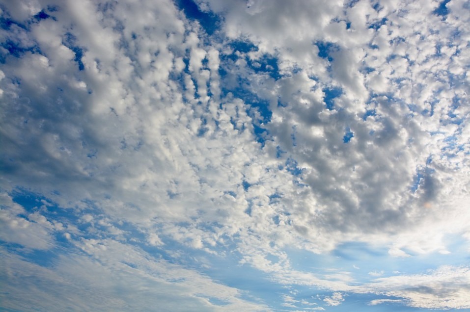
CIRROCUMULUS
Cirrocumulus clouds commonly appear as rows of clouds with clear areas between them or as regular, rippling patterns formed in sheets or patches and do not cast shadows. Cirrocumulus are formed through convective processes and come in four species: castellanus, floccus, lenticularis, and stratiformis. A substantial rise of these clouds signals the approach of poorer weather. The ice crystals in the bottoms of these clouds show a tendency to have hexagonal cylindrical forms. Cirrocumulus clouds tend not to last long and usually dissipate into cirrus once there's a disturbance in the upward convection.
Cirrus clouds don't just form in the Earth's atmosphere; and they also develop in the atmospheres of other planets like Mars, Jupiter, Saturn, Uranus, and Neptune. Since they are formed in extraterrestrial atmospheres, some of these clouds are composed of ammonia or methane ices.