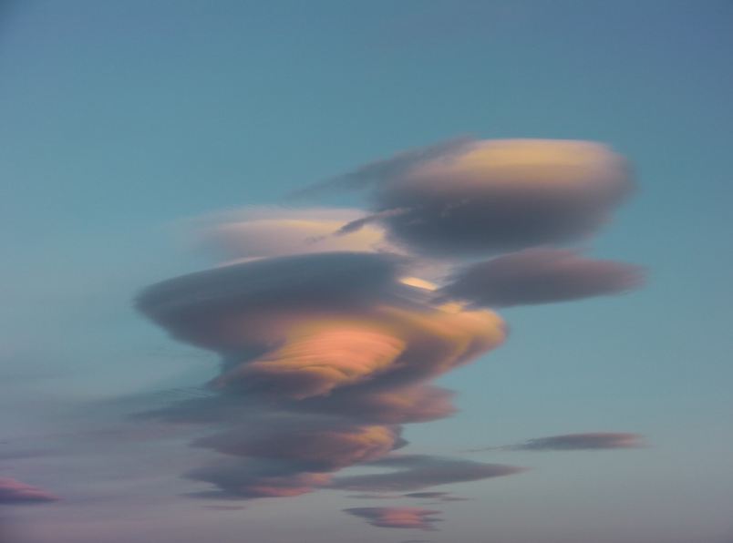
The Stratus Clouds

Being a cloud expert, or even just having a better understanding and knowledge about clouds help in your personal weather forecasting, so you'll know when you need to pursue your out-of-town travel for that particular day, or it gives you a hint if you need to bring your umbrella or not.
Clouds are marvelous objects in the sky. There will be no thrill when riding a plane when clouds are not up there, nor a painting of the sky without the white cotton-ball-like clouds. Sometimes, we can create a lot of shapes and forms when we look at them. However, more than the aesthetic value, clouds are a very significant determinant of weather.
Let's find out everything we need to know about the Stratus Clouds.
Stratus clouds are low-level clouds that form below 6,000 feet. This type of clouds features uniform layers of grayish clouds that are generally thin but covering the entire sky, known as overcast. Stratus clouds occur when weak, gentle upward air currents lift large air layers high enough to produce condensation.
Under sunny weather, you'll see that they do have some discernible shapes and the closest layer to the ground is full of moisture, and the ground air may even be misty. That bottom layer usually conceals the shapes of the clouds, but other times the mist can make the cloudsvisible.
Stratus clouds are generally dense, so dense that it can block the sunlight, and they are also heavy and large that stretches from horizon to horizon. The cloud's bottom layer behind the mist is generally verydark.
WHERE DOES STRATUS CLOUDS FORM?
Stratus clouds form at low altitudes; although this type is closely linked to fog, they aren't the same because fog usually forms from ground moisture, whereas stratus clouds form from moisture already in the air. Stratus clouds form when the light currents of air push cold air above awarm air blanket that quickly causes moisture to condense. If the condition remains stable, the clouds just hang around.
WHAT WEATHER IS ASSOCIATED WITH STRATUS CLOUDS?

These clouds can produce little to no rain, but they can make light mist or an occasional drizzle if the clouds thicken. Meanwhile, if the stratus clouds begin to have consistent precipitation, they are reclassified as nimbostratus. If the temperature is low enough, the drizzle can also fall in the form of light snow.
HOW DO WE CATEGORIZE STRATUS CLOUDS?
Stratus cloud has two defined types: stratus nebulosus and stratus fractus.
- Stratus Nebulosus
Although stratus nebulosus clouds have no distinct structure, they frequently have a sheet-like appearance, uniform base, and horizontal layers. This type of stratus cloud has a gray to a dark gray color and is found on low altitudes. These clouds are a good sign of atmospheric stability, which is ideal for any type of outdoor activity. Nebulosus may produce little rain and drizzle or flakes of snow.
- Stratus Fractus
Meanwhile, another type of stratus cloud is the stratus fractus. It appears with an irregular shape and starts to break-up or dissipate, leading to breaks in the clouds. They can usually be found below the major rain-producing clouds. On the other hand, they can also occur beside mountain slopes, without the presence of nimbus clouds, and their color can be from dark gray to almost white.
NIMBOSTRATUS AND ALTOSTRATUS CLOUDS
Gray to dark gray in color, nimbostratus clouds are featureless cloud layers, which are too thick to block out the Sun. Always expect rain when these clouds appear heavy in the sky. These clouds are often linked with frontal systems provided by mid-latitude cyclones. These clouds are perhaps, the least picturesque of all types.
Nimbostratus clouds form at an elevation below 2,000 meters (6,500 feet). However, altostratus clouds are mid-level clouds that form at elevations from 2,000 to 7,000 meters. Because at higher elevations, the air is cooler, therefore making these altostratus clouds also contain ice crystals, which makes them a bit more reflective. The gray or blue-gray clouds are dense that usually cover the entire sky. Occasionally, they can be very thin, allowing the Sun to shine through, creating the "watery or fuzzy sun." If you see altostratus clouds in the sky, a storm with continuous rain or snow is coming.
Besides all these cloud types, there are many more types out there that help weather forecasters determine the approaching weather, or this gives storm-chasers the idea when to standby to catch the next awesome photo.