The 'Alto' Clouds

Sometimes we wonder why people make simple things complicated. Why can't we just call clouds simply as clouds? Why do they need to have many names and be classified into different types? Well, just like human beings, individuals are classified according to race, nationality, language, and some according to ethnicity to have a better understanding of their culture, needs, beliefs, and soon. Similarly, clouds are classified as they play a pivotal role in weather forecasts and warnings. They also help drive the water cycle and the entire climate system. Throughout history, cloudswere part of artists' masterpieces and have inspired poets, musicians, andphotographers.
Clouds are visible, but they are intangible. Water droplets and ice crystals suspended in the air comprise a cloud. They are a visible aggregation of minute water droplets and ice particles in the air, typically above the ground level. The particles averagely have a diameter ranging from 20 to 50µ.
There are various types of clouds based on their location, formation, shapes, and size.
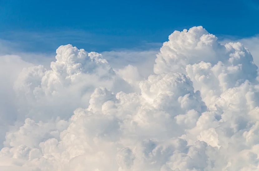
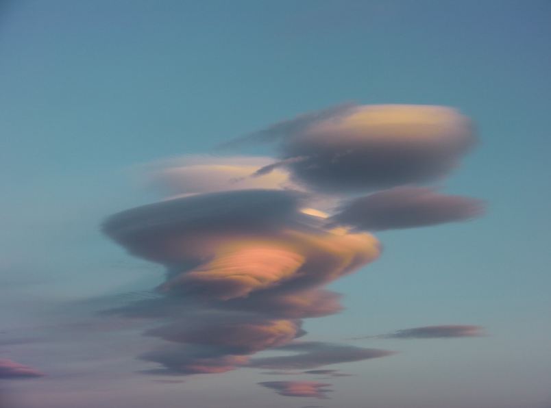
Alto clouds, particularly, are mid-level clouds that form between 2 000 to 7 000 meters up in the atmosphere. Comprised of ice crystals and water droplets, they resemble cirrocumulus clouds that are fluffy like large cotton balls. Due to the high winds, they bear a rippled appearance. Alto clouds are thick and not translucent to see the Sun or Moon through it. These clouds contain a high level of precipitation, which leads to rain.
Alto clouds have two types: altostratus and altocumulus clouds.
Altostratus clouds
Altitude: 2,000–7,000 meters
Appearance: Sheet or layer, shapeless or formless, and the Sun can hardly cast its shadow
Genus: Alto- (Middle); -stratus (layered)
Variety: Duplicatus;
Opacus; Radiatus; Translucidus; Undulatus
Abbreviation: As
Classification: Family B (Medium level)
Gray, blue-gray and flat clouds are the significant characteristics of Altostratus clouds. They are widely spread in the sky and barely bear a particular shape or form. Frequently, they appear as parallel stripes of clouds due to wind. In areas where altostratus clouds appear thick, the Sun can only be seen as a disk shape, and it cannot cast a shadow because the cloud is too thick.
When thick altostratus occurs, rain or snow usually follows because they form before a storm or downfall. These clouds are signs for pilots to take extra caution to fly as it can be dangerous up there when the ice crystals form in the atmosphere that causes the plane's wings to have difficulty moving as it flies through.
Altoculumus clouds
"Layers of bread rolls"
Typical Altitude: 6,500-18,000 ft.
Precipitation: Very occasional light rain
Composition: Mostly liquid water, may contain ice crystals.
Formation: Mid-level atmospheric disturbances and wave propagation
Altocumulus clouds mid-level clouds; they appear as small clouds like patches that most commonly exist in a clump or round shape clouds. Still, they can also occur in different shapes as there are many varieties of altocumulus. Since it is a mixture of both ice crystals and water, it has a more ethereal appearance than the big and fluffy lower-level cumulus.
HOW DO ALTOCUMULUS CLOUDS FORM?

Altocumulus clouds form in several ways;
- Moist air pockets are lifted and are cooled by gentle turbulence.
- Atmospheric waves produced by mountainous terrain from which clouds can form.
- Formation through the breakup of altostratus
Shading also tells the difference between altocumulus and cirrocumulus clouds. Cirrocumulus clouds appear tinier and white, but altocumulus clouds can either be white or grey with shaded sides.
WHAT WEATHER IS ASSOCIATED WITH ALTOCUMULUS CLOUDS?
Altocumulus clouds are usually found in settled weather. Precipitation from these clouds is rare; therefore, rain or snow is not likely to occur when these clouds appear. This precipitation occurs in the form of virga, where the rain is re-evaporated before it reaches the surface.
Altocumulus clouds are high in the sky, which means they are generally above the influence of thermals. They form very different clouds from cumulus and stratocumulus clouds. Although they share similar names, Altcomulumus clouds are very similar to cirrocumulus clouds, but their density and spread differ.
In the morning, these clouds, due to a more considerable amount of water droplets, indicated thunderstorms or heavy downfalls later in the afternoon.
With the knowledge of the different clouds and their implications, people can simply make their weather forecast wherever they may be. When thick cumulonimbus clouds or nimbostratus clouds appear in the sky, that might last until evening, tells that it’s not a good time to take your binoculars out for stargazing or moon watching in the Milky Way galaxy.