Tips on Weather Forecasting at Home
Homeowners usually rely on weather forecasts to inform us of the kind of weather condition to be expected. However, weather forecasts are not always right. Despite the use of modern technology, there is sometimes a 50% chance that Mother Nature doesn’t follow the forecasted weather pattern at the exact time, day, and place. Sometimes, it’s particularly challenging to have an accurate forecast of weather patterns for a specific location.
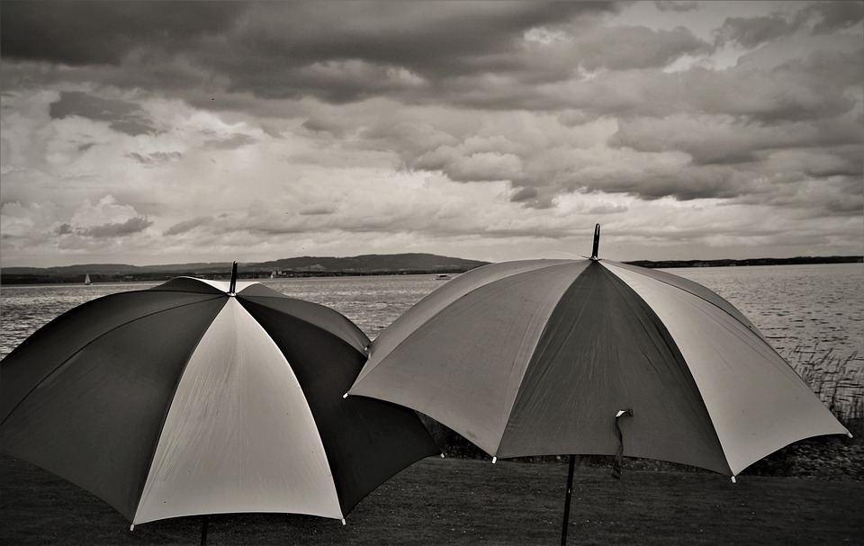
Rain showers are hard to predict since they're small-scale weather features and it’s difficult to guess where exactly they’ll develop.
People might think the weather forecast was wrong when this happens so they might want to find a way to get a good weather forecast and some might just forecast the weather themselves. So here are some tips on weather forecasting at home.
Look for the basic patterns
The weather has its own basic rule which is: “What happened yesterday is likely to happen today.” The weather’s behavior usually occurs in a daily pattern. It only changes if there are new influences that would likely break it. The key to weather prediction is to learn what signals signify the change in the weather. If there are no signals, then you could expect that the weather is the same as whatever it is the day before.
Another basic weather rule is that it’s usually the most unstable in the afternoons. The weather is most likely calm during the days and nights, particularly in warmer months. Since the sun's heat hits the surface of the Earth in the daytime, the difference in the temperature of both air and land can be quite noticeable in the afternoon. Lots of air and moisture move up and down through the atmosphere which generates the weather. A measurement called the atmospheric treasure can be used to track these up and down movements.
Atmospheric pressure
Atmospheric pressure is one of the most reliable metrics for taking notes of any weather changes. It’s also called barometric pressure and basically, it’s the force exerted by the weight of the atmosphere. Any location has a standard atmospheric pressure that is based on the altitude, but actual pressure greatly changes with the weather. High or rising pressure means that the air remains at the land surface and this is a sign of stability in the atmosphere and weather. Low or falling pressure means that air from the land surfaces is moving upward to the atmosphere which indicates shifting weather.
A person themself can’t feel the changes in the pressure, but they can measure it with a barometer- a device for precisely measuring the atmospheric pressure; and an altimeter- a device that measures elevation which is also useful in tracking pressure changes.
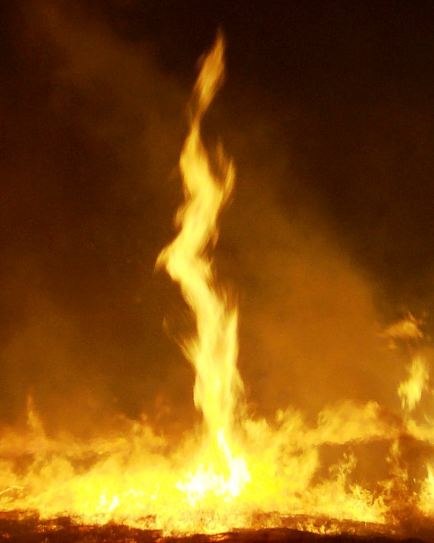
If you do not have any of these devices, the classic indicator of changes in air pressure is smoke. If the atmosphere’s in a low pressure, the smoke, from the fire, soars high in a straight column. If the smoke stays low, there is high pressure.
Clouds
Clouds are great weather indicators, but some might find them difficult to read because they’re complex. For those who are knowledgeable, clouds can tell if it will rain or not and also the type of rain to be expected. There are different cloud forms classified by meteorologists according to the size, shape, and position in the atmosphere. The three most basic cloud types are cirrus, stratus, and cumulus clouds.
Cirrus clouds during a clear, blue sky mean that there’s movement in the air and moisture high in the atmosphere but it doesn’t necessarily mean there are changes at ground level. More continuous cirrus clouds that make a halo of light visible around the sun or cover most of the sky in a thin veil is a sign of stronger changes on the way and you should pay attention to what happens in the next 24 hours.
Stratus clouds that are mostly white and scattered, or continuous, and the sun can be seen through them mean there’s no imminent rain. However, the scattered stratus clouds becoming big and dark mean you should look out for increased winds and rain.
Cumulus clouds can build into very dark and stormy cumulonimbus clouds, commonly called thunderheads. These clouds are typical signs of rain showers in many parts of the world.
Wind
You can also predict the weather by familiarizing yourself with the usual patterns of a region’s weather, and then note how the wind blows throughout the day and in what direction the clouds tend to move. Changes in the direction the wind is blowing means you should check on the weather and expect changes.
Other Indicators
You can also use other methods to predict the weather. There are usually other environmental indicators that show a change in the weather. These indicators include wave patterns on lakes or oceans, animal noises, and behavior, smells emitted by plants, and even their behavior like the closing and opening of leaves and flowers. You can also check for humidity since a storm is usually preceded by high humidity. You can watch out for signs of high humidity like curling leaves, frizzy hair, and swollen wood. These signs can help you expect a storm that’s on its way.
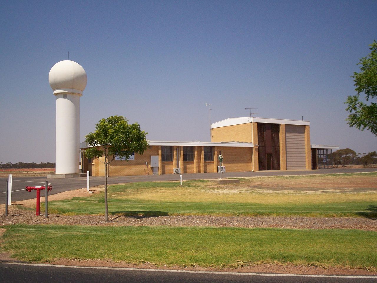
A personal weather station can be used to check on the weather in your locality and can be used to know the forecast in your area.